Welcome to Mongala – where nature breathes, culture thrives.
From vibrant traditions to rich biodiversity, Mongala welcomes you to explore its unique heritage and invest in its bright future.
Led by dedicated officials, Mongala ensures efficient public services, open communication, and citizen-focused development.
From agriculture to eco-tourism, Mongala is ready for sustainable development and strategic partnerships.
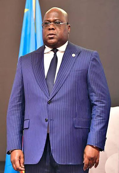
His Excellency President of DRC

His Excellency Governor of Mongala
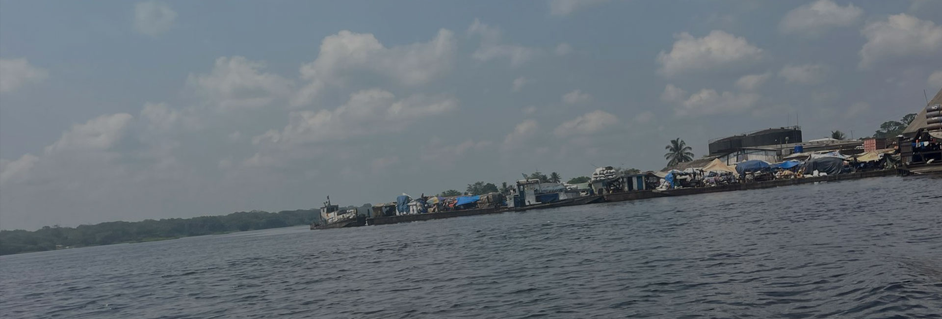
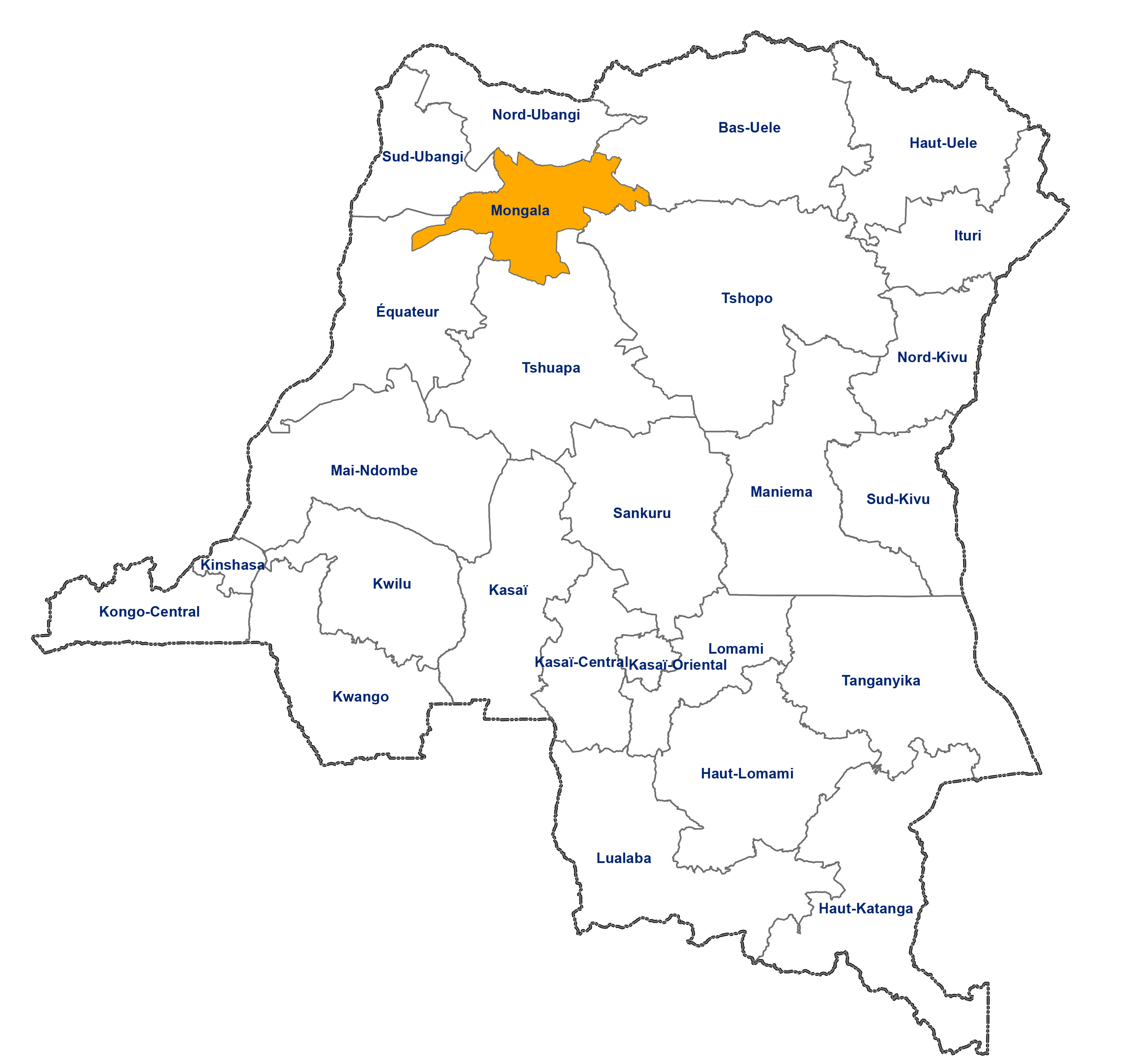
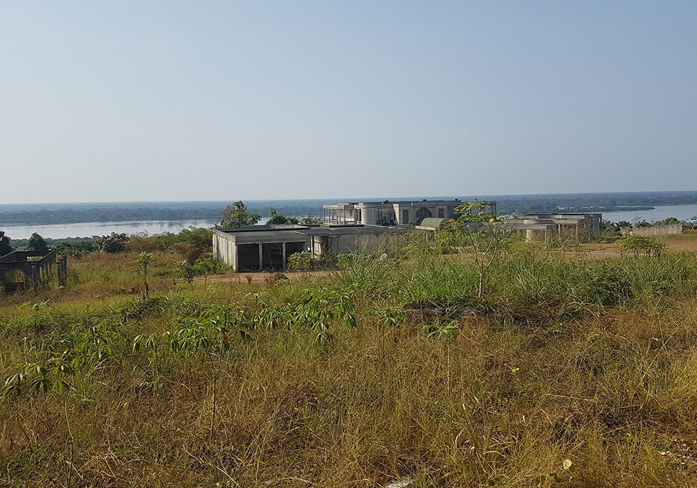
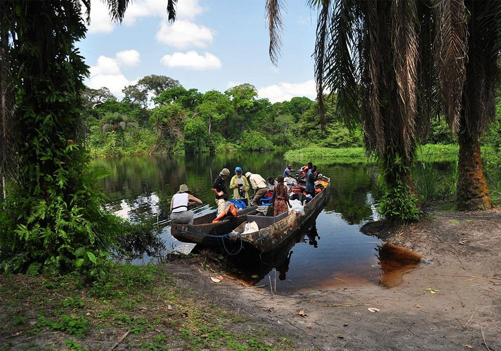
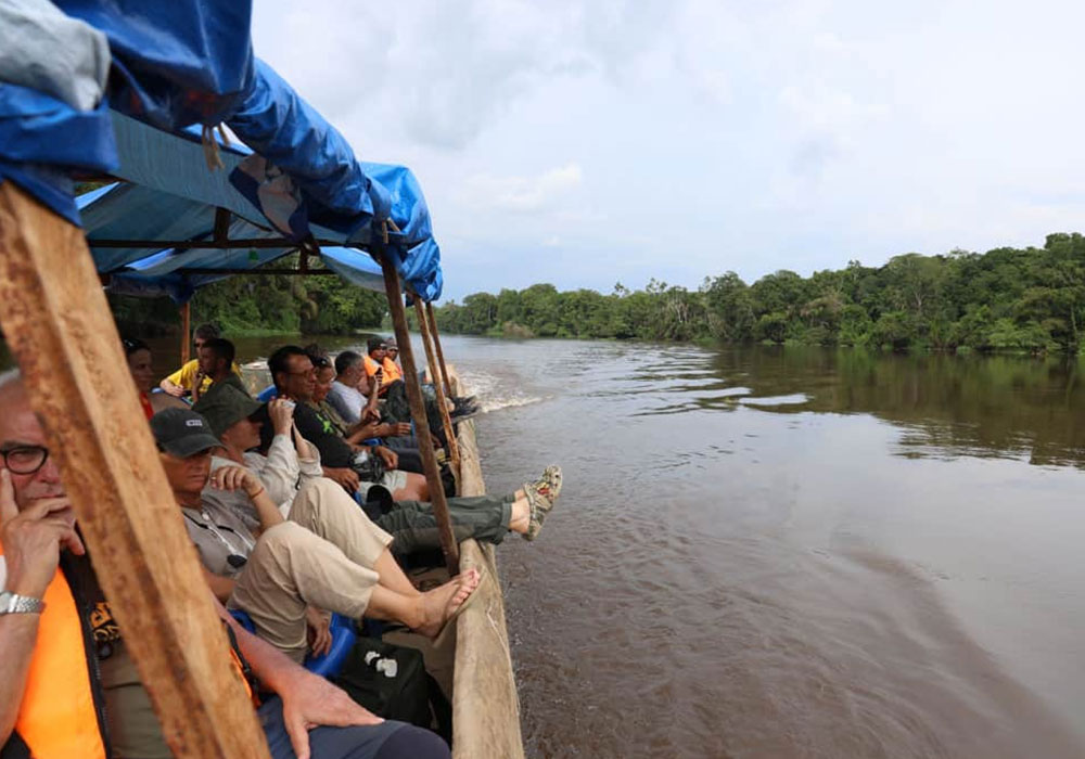
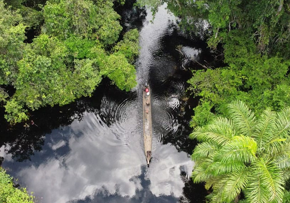
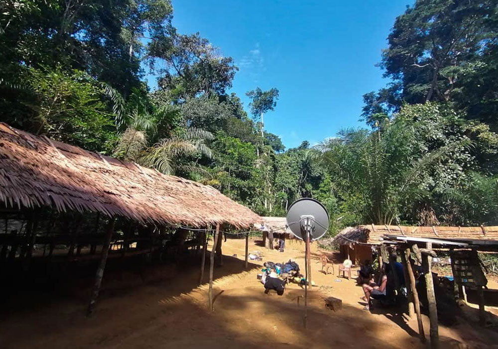
Mongala Province, located in the northwestern part of the Democratic Republic of the Congo, is an area of great historical, cultural, and economic significance. Originally part of the Équateur Province, Mongala gained recognition as an independent province in 2015 as part of the country’s administrative decentralization efforts. The province is strategically positioned along the Mongala River, which serves as a vital transportation and economic lifeline for local communities.
View More.Contact us today and get qualified advice on your project.
Contact NowPublic GIS Portal
Your partner for pixel-perfect frontend development, delivering precision and excellence in every line of code.
Governor Login
Your partner for pixel-perfect frontend development, delivering precision and excellence in every line of code.
App's by Government
Your partner for pixel-perfect frontend development, delivering precision and excellence in every line of code.
Mongala province has three territories, the province has two cities (Bumba and Lisala) and three rural municipalities (Mondongo, Bongandanga, and Binga).
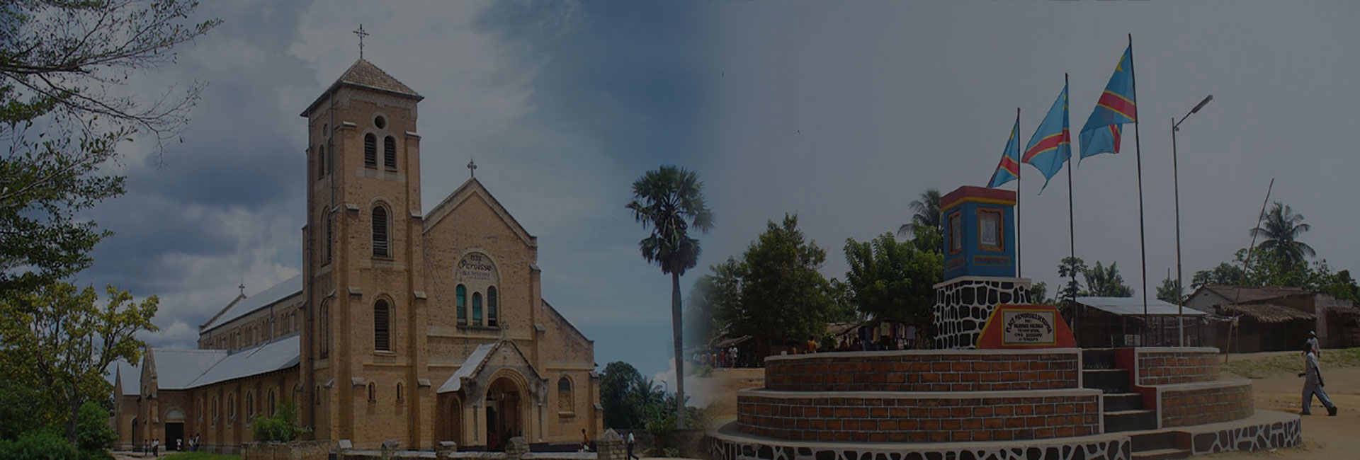
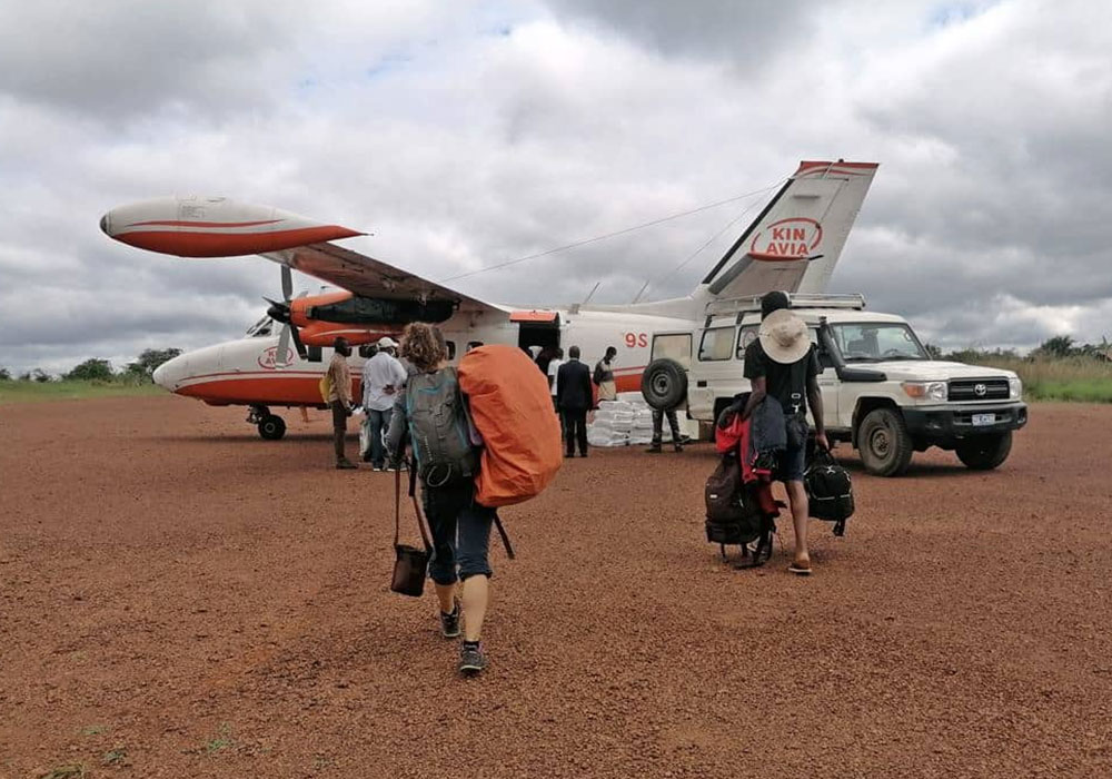
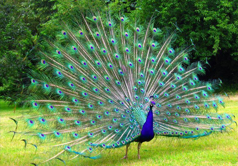
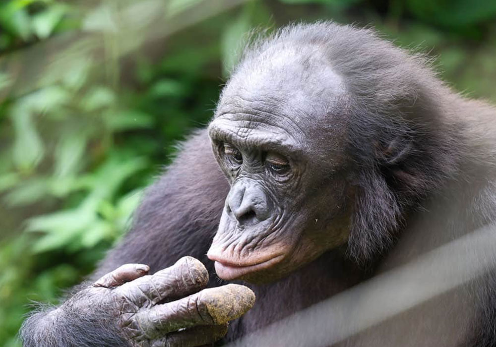
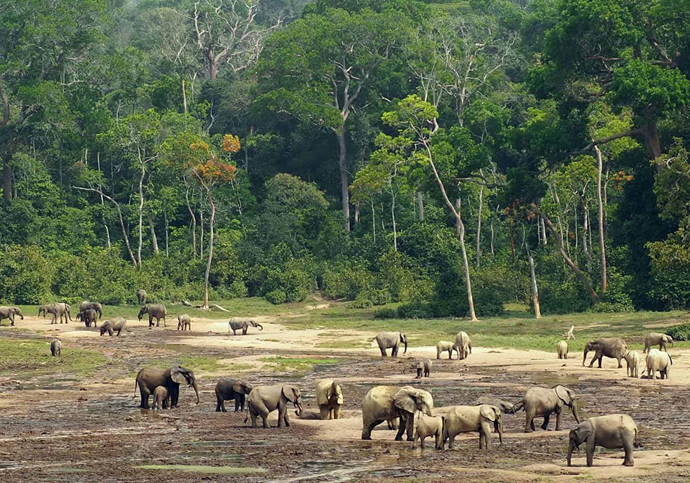
The Untouched Jewel of the Congo Basin Nestled in the heart of the Democratic Republic of the Congo, Mongala Province offers an unforgettable tourism experience, rich in natural beauty, culture, and authenticity.

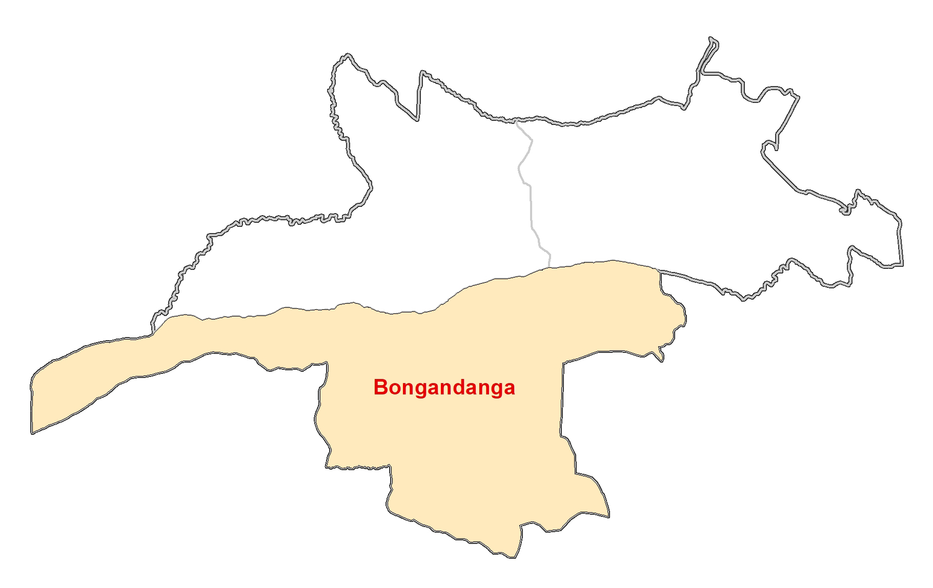
Bongandanga, with an area of 33,912 km2 and an estimated population of 1,114,350, is administratively composed of four sectors (Boso-Melo, Botewa, Boso-Djanoa, and Boso-Simba), 70 groups, and 468 villages.
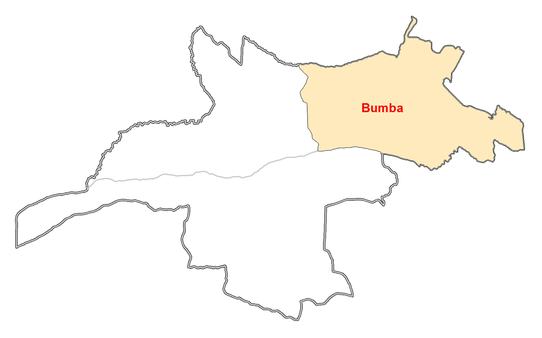
Bumba, with an area of 15,598 km2, has an estimated population of 1,298,773. Administratively, it is composed of six sectors (Itimbiri, Loeka, Yandongi, Molua, Monzamboli, Bandoyowa), 66 groups, and 855 villages.
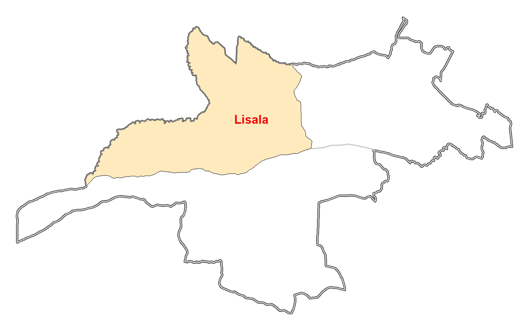
Lisala, with an area of 18,417 km2 and an estimated population of 861,205, is administratively composed of three sectors (Mongala-Motima, Ngombe Mombangi, Ngombe-Doko), 41 groups, and 269 villages.
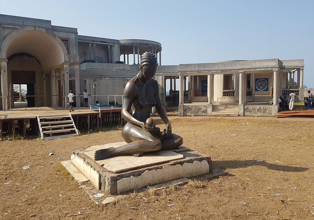
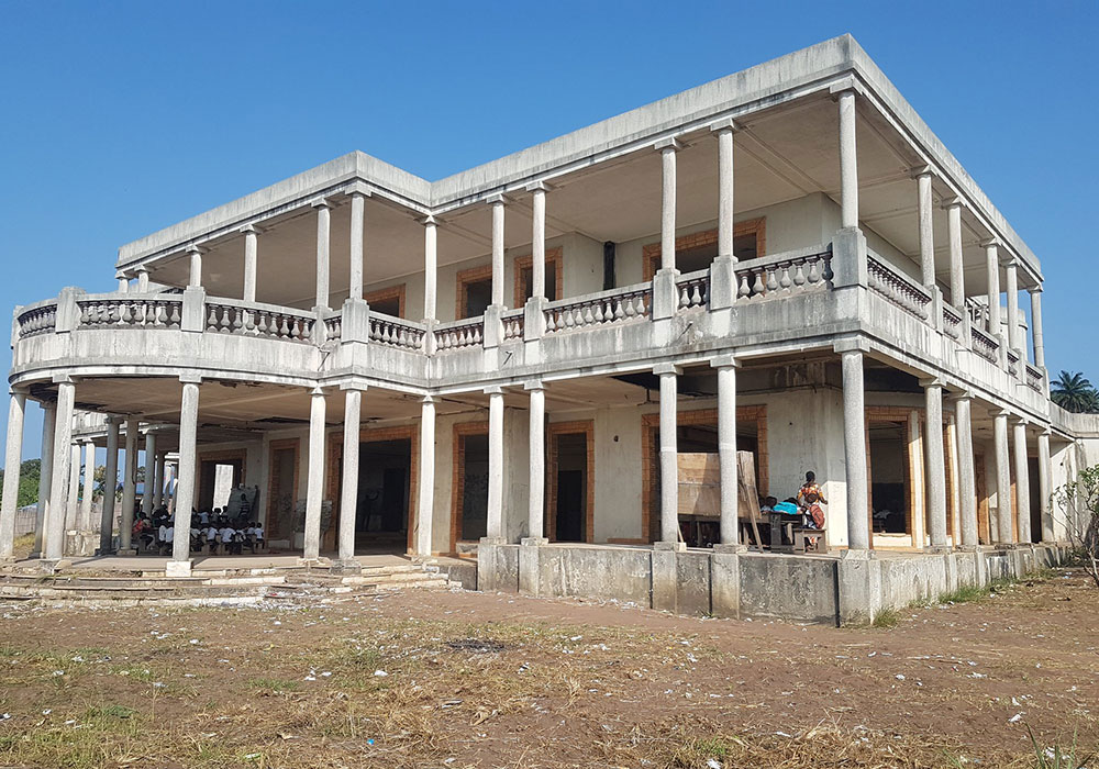
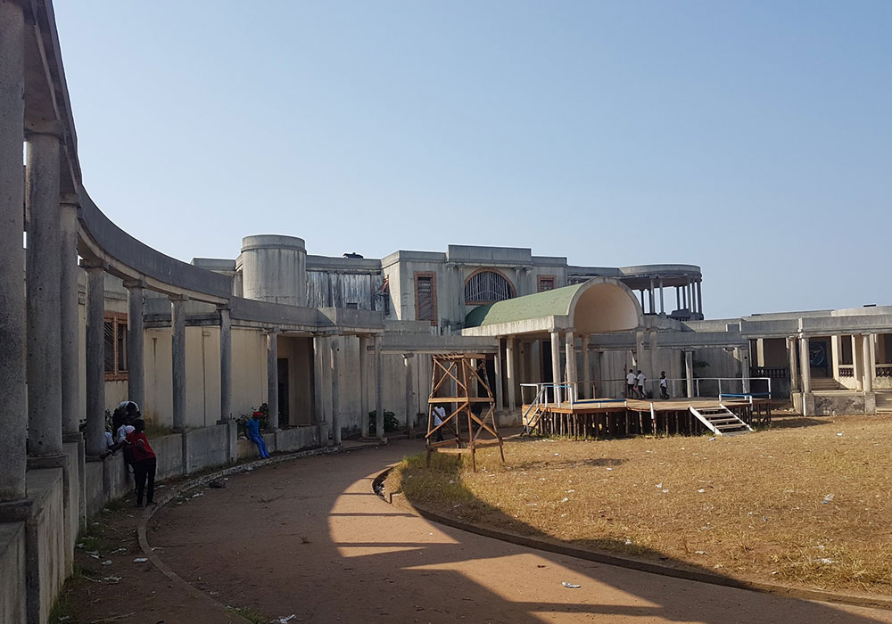
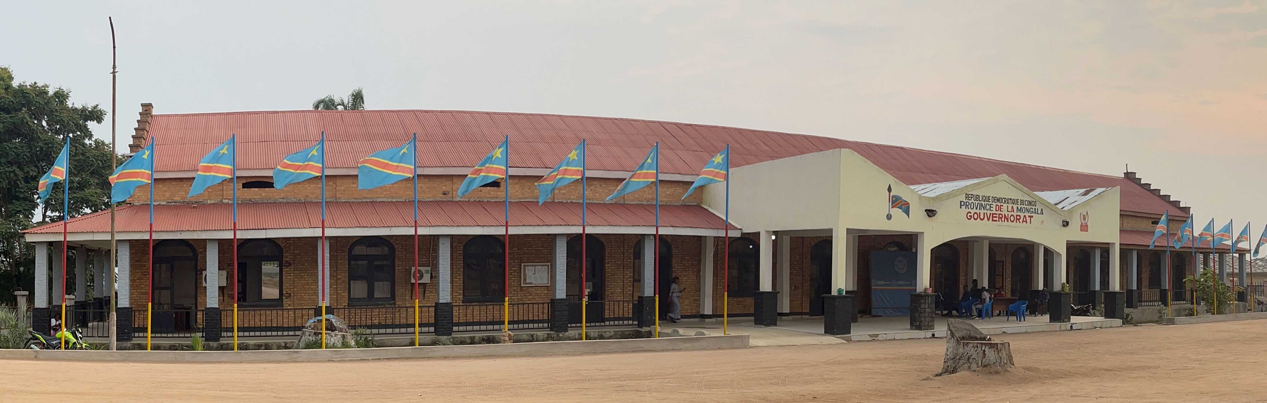
The Governor's office in Lisala serves as the administrative headquarters for Mongala Province in the Democratic Republic of the Congo. As of April 29, 2024, Jean Collins Makaka Papekaka has been serving as the Governor of Mongala Province.
Address: No. 1115, Avenue Mobutu, Lisala city
Contact: +243 821 211 411
Email: mongalaokapi@gmail.com


© 2022 All right reserved & Powered By Excel Geomatics Pvt.Ltd